Milestones:
- 13th time in 13 months to go camping. SHOW ON MAP
- 9th county in California solo-camped.
- / 4th time biking/camping near the Juan Bautista de Anza National Historic Trail (SHOW THE 3RD)
- 2nd time managing my own campfire, 1st time cooking over an open flame.
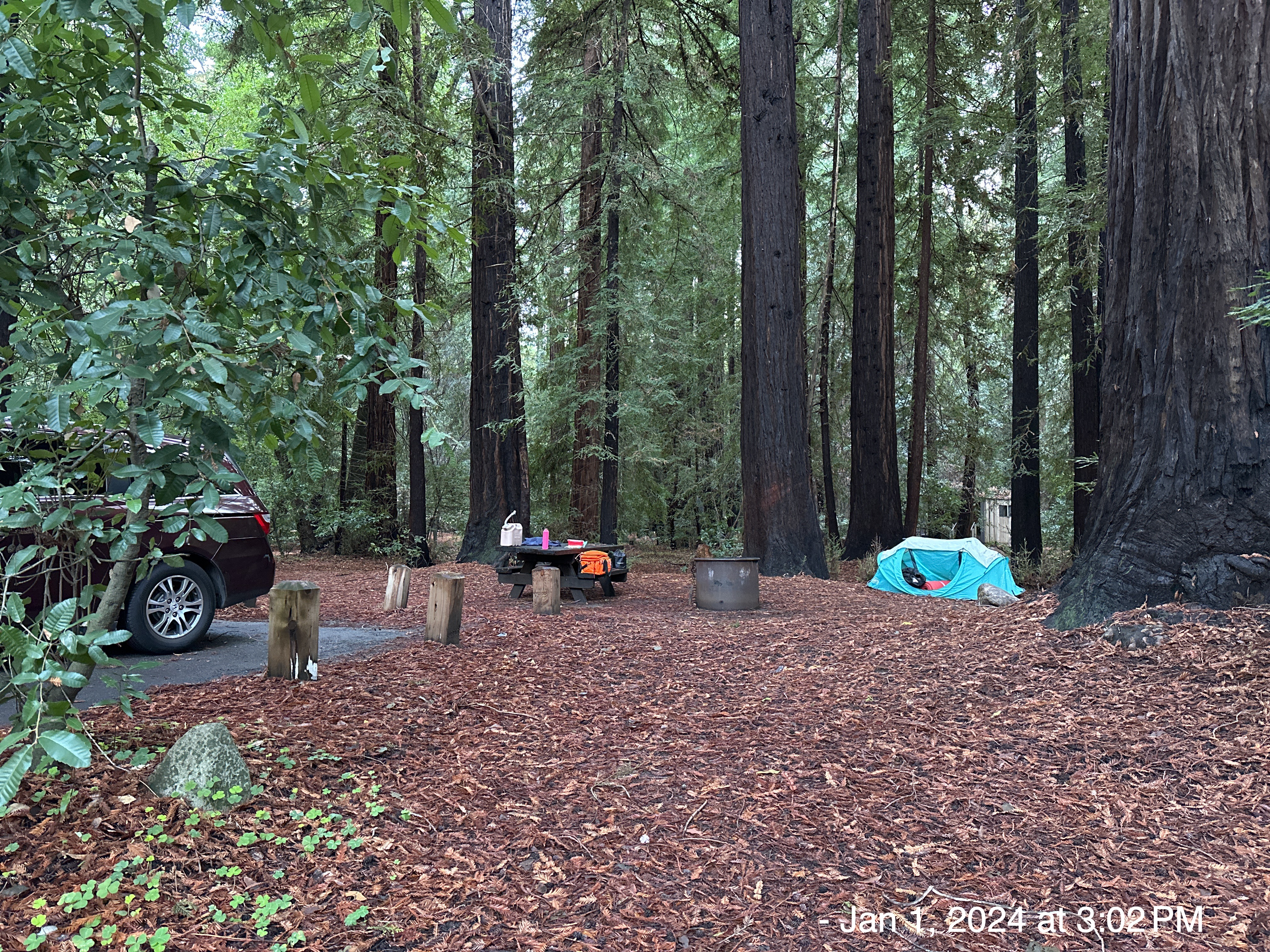
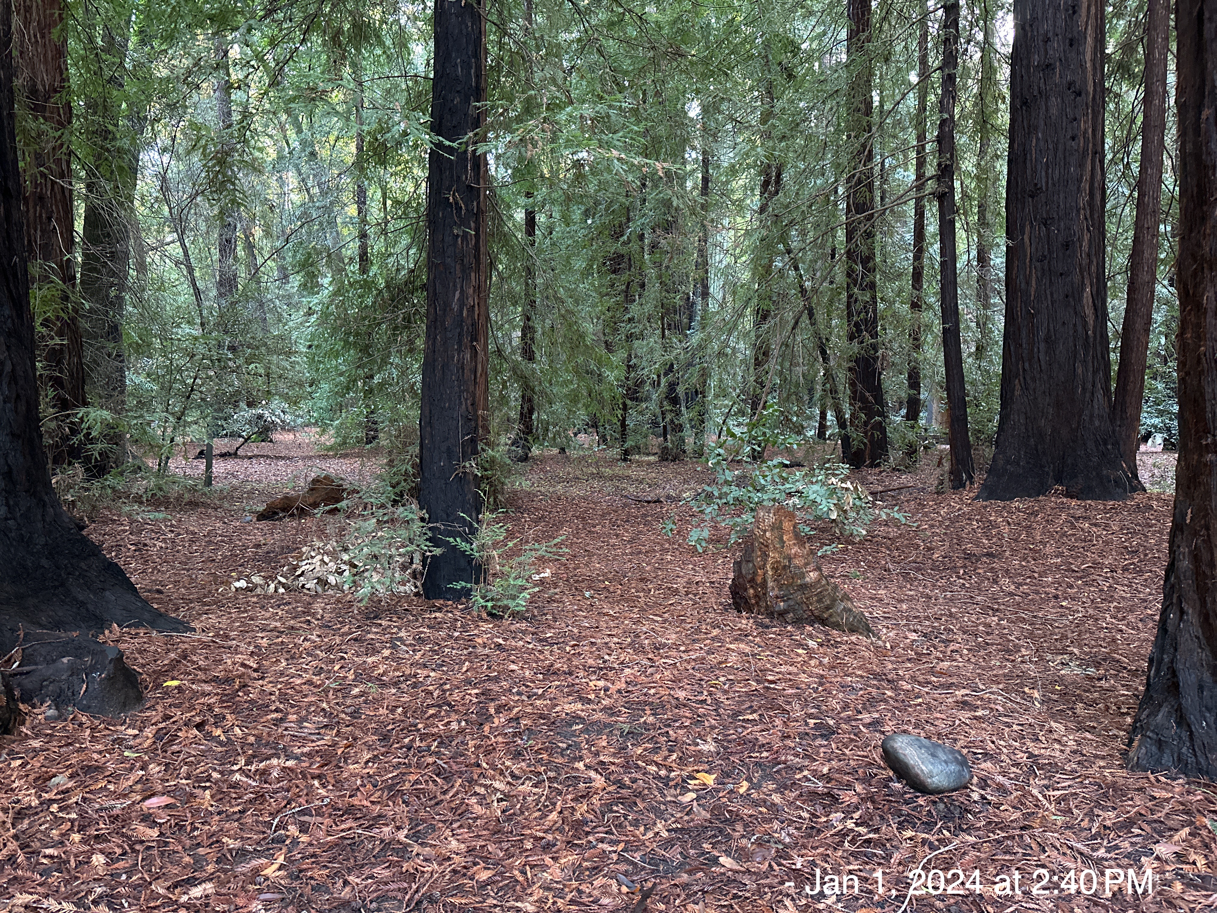
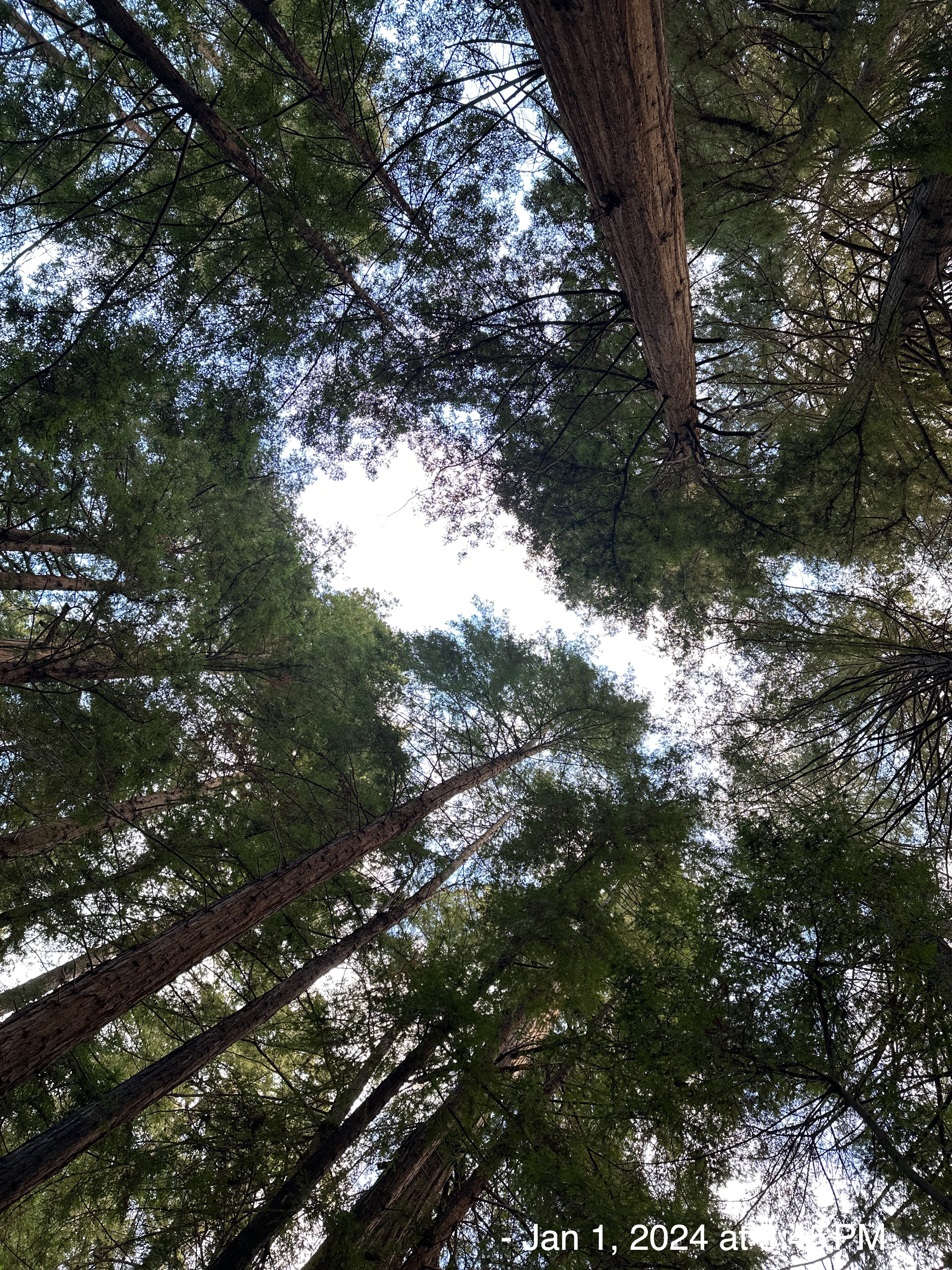
- 1st time camping in a redwood forest
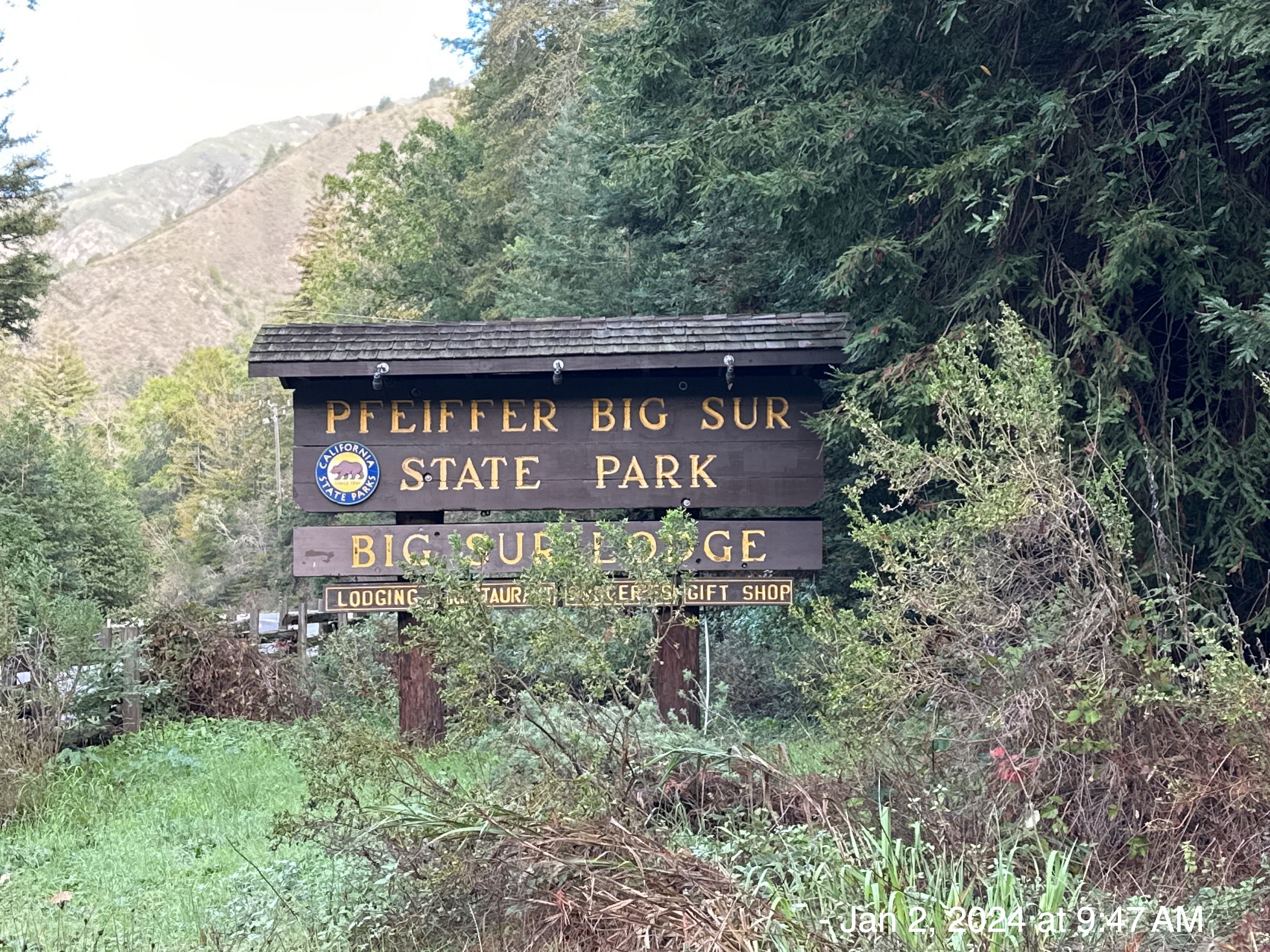
Pfeiffer Big Sur State Park is a state park in Monterey County, California, near the area of Big Sur on the state’s Central Coast. It covers approximately 1,006 acres (4.07 km2) of land. The park is centered on the Big Sur River. It has been nicknamed a “mini Yosemite.” A Redwood tree in the park nicknamed the Colonial Tree is estimated to be between 1,100 and 1,200 years old.
I arrived at about 2:30pm, with a horrible headache. I immediately took two Tylenol and setup camp. 6 hours later, I took another two Tylenol … finally my pain subsided. I didn’t have coffee that morning, so I blame that. Here’s my campsite… oh so gorgeous …..
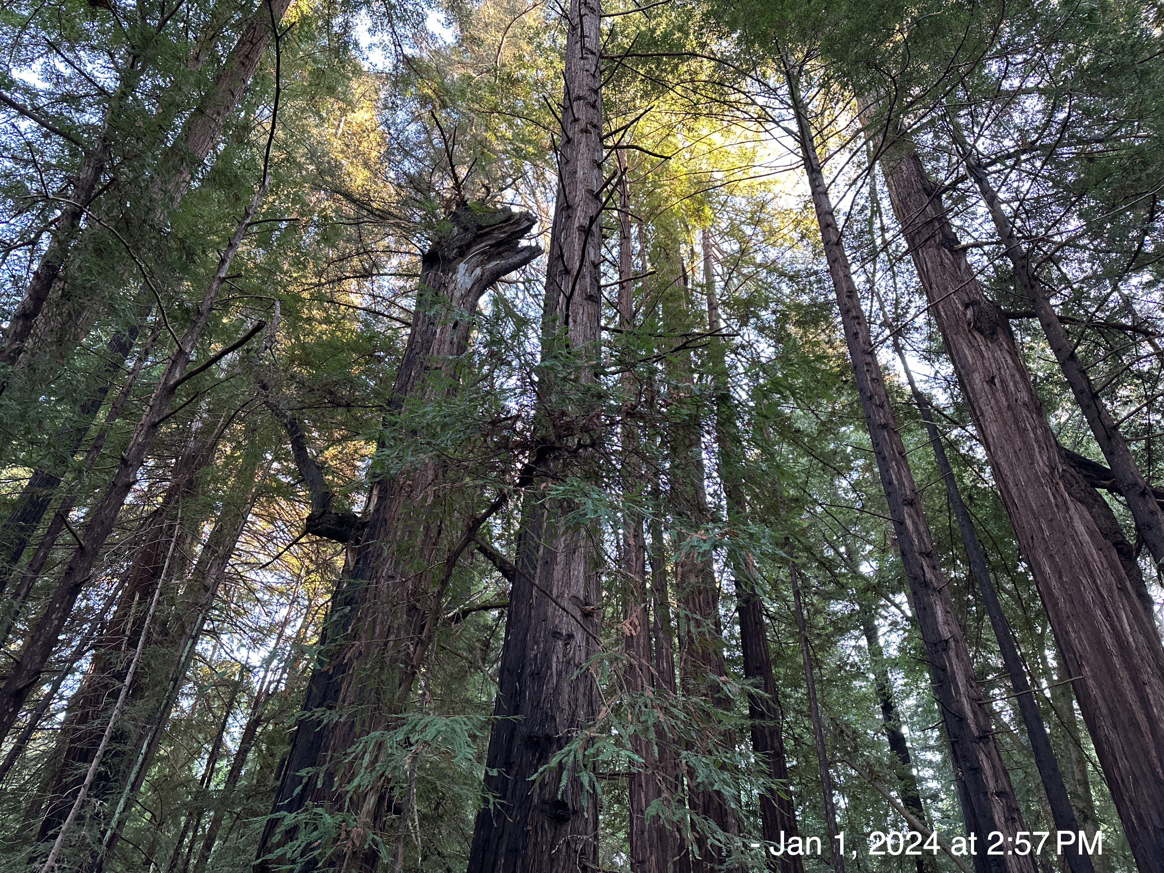
Coast Redwood (Sequoia sempervirens), grows in a very narrow strip along the coast of California from the extreme southwestern corner of Oregon to 150 miles south of San Francisco in the Soda Springs drainage of Big Sur. This area is about 500 miles long and rarely more than 20 or 30 miles wide in a region of frequent thick -summer fog, moderate year-round temperature, and considerable winter rainfall. Redwood does not grow naturally beyond the belt affected by this combination.
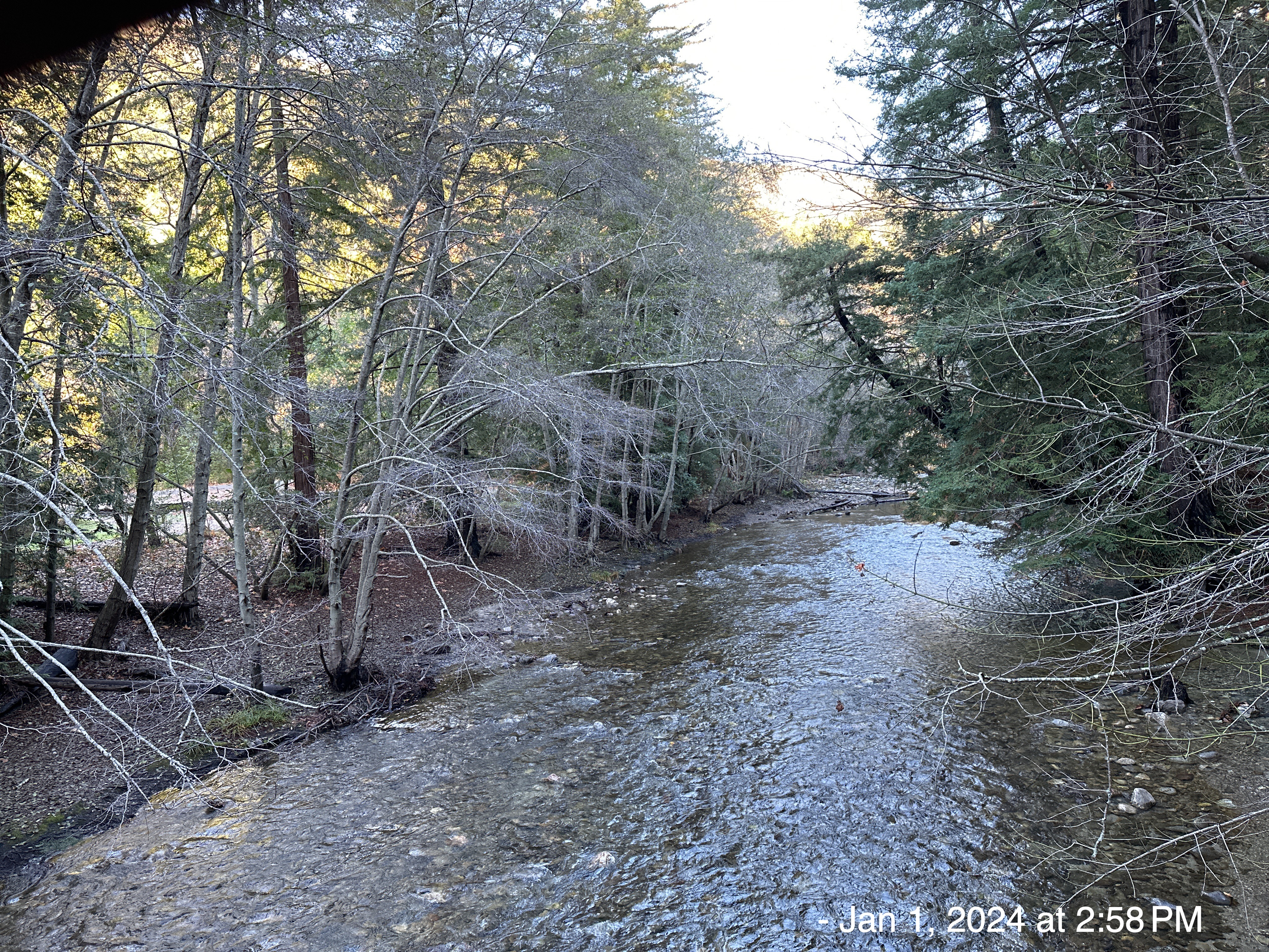
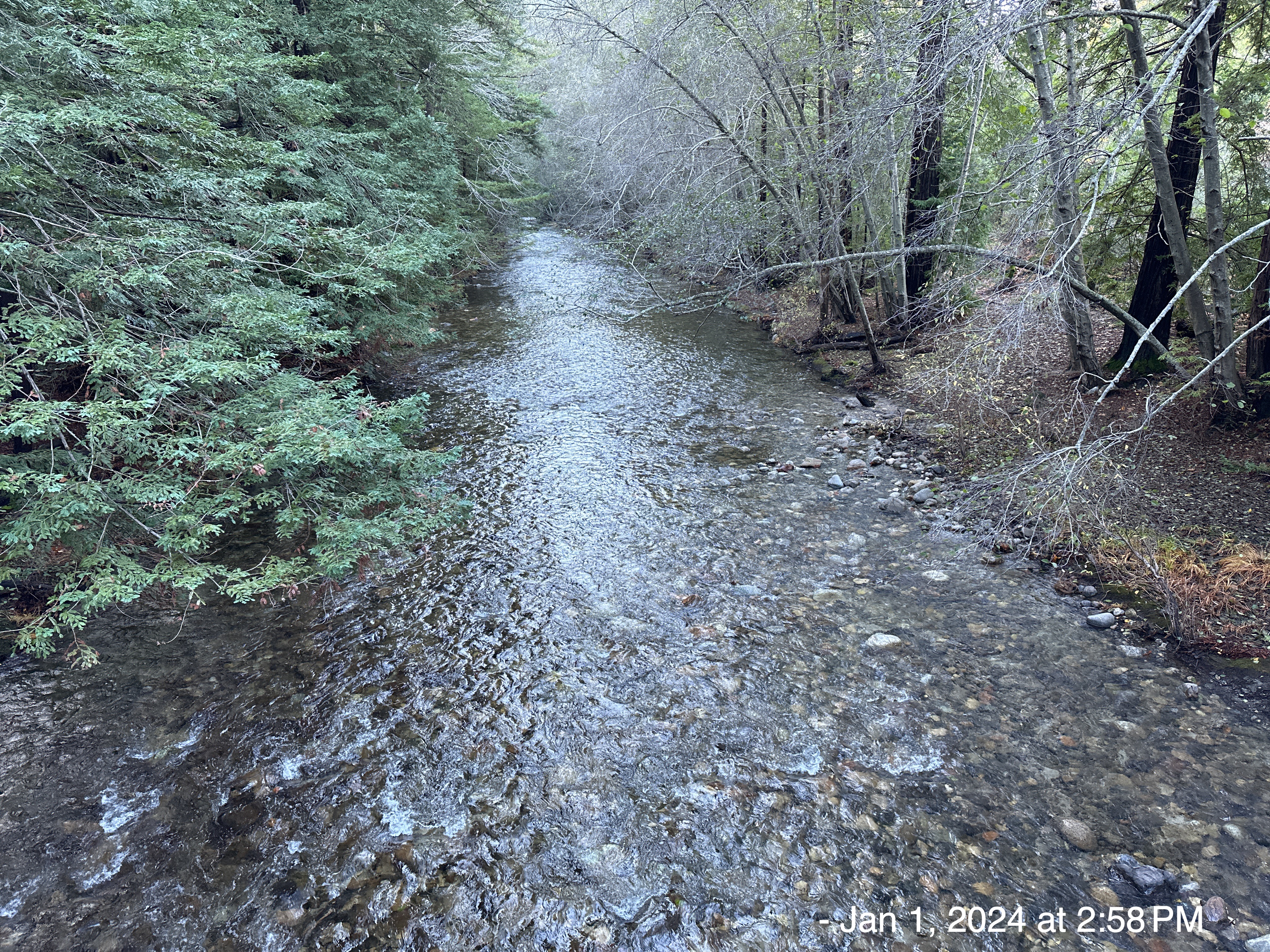
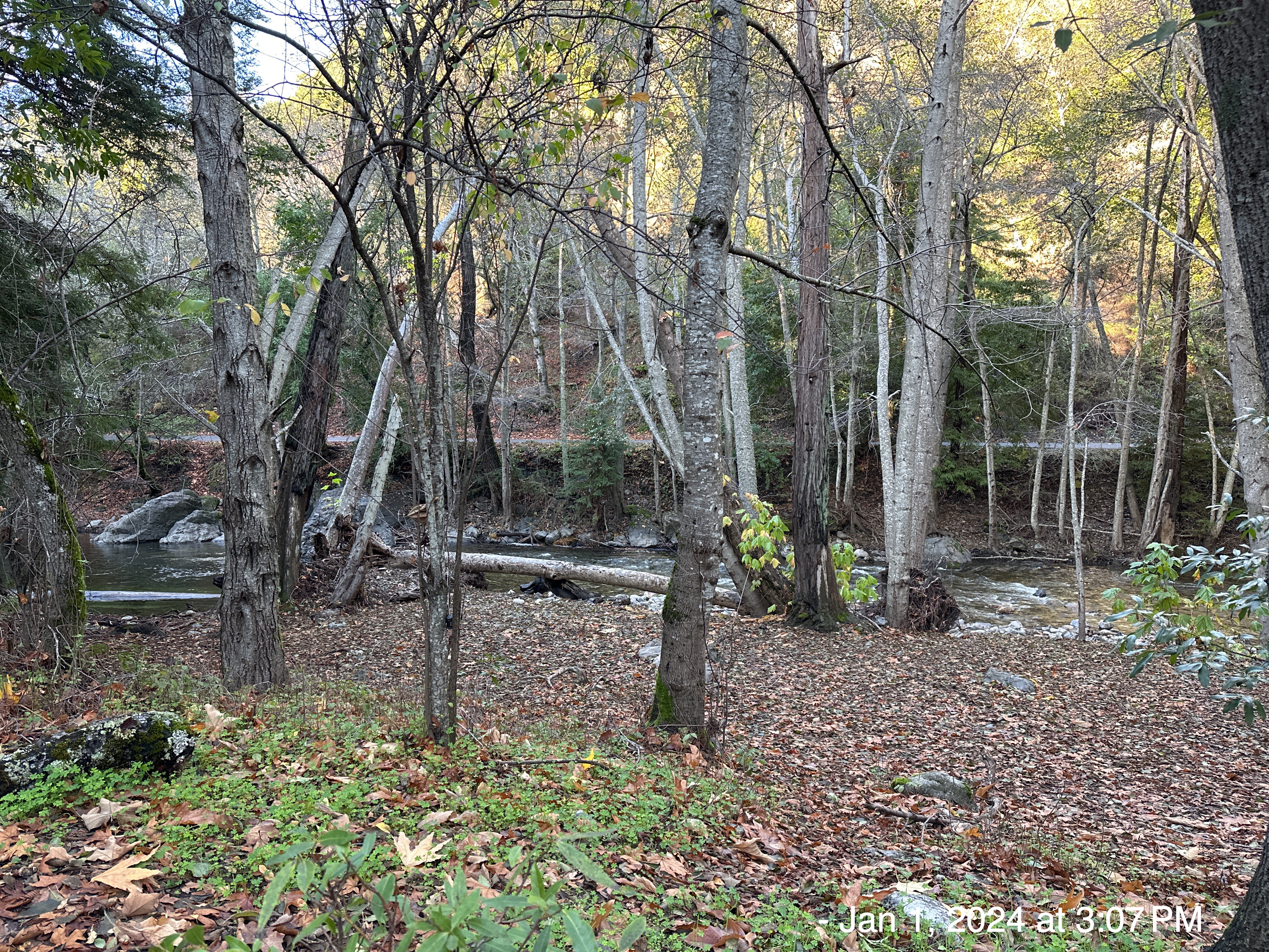
The Big Sur River is a 15.7-mile-long river where the Santa Lucia Mountains rise abruptly from the Pacific Ocean. My tent was 50 yards from this river, and I could hear it all night long. Very peaceful.
Upstream
Midstream

Downstream
Named for the pioneer family that conveyed to the state of California a key piece of land here, Pfeiffer Big Sur State Park is home to some of the region’s most impressive redwoods.

The population of Coast Redwoods is down to perhaps 70,000 individuals, falling from at least a half-million trees before humans started harvesting them.
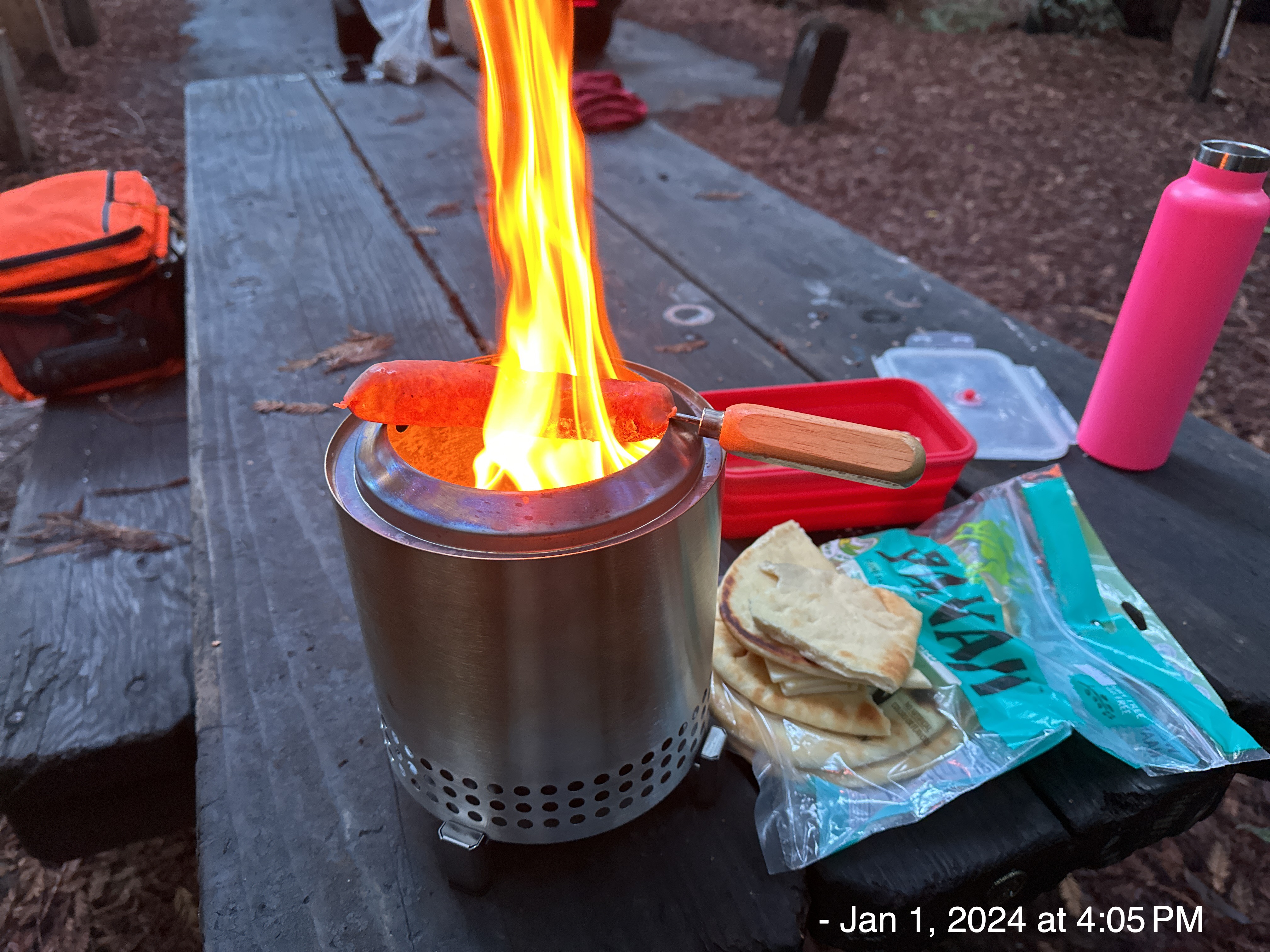
My recent success (not lighting myself on fire) at Death Valley with my portable stove, prompted me to bring Bratwurst, Naan, and Jack cheese for an “open-flame” cooking experience. Good news, I didn’t burn down any old-growth forests and I didn’t get food poisoning from undercooked pork. I may actually be getting a handle on primitive living 😆.
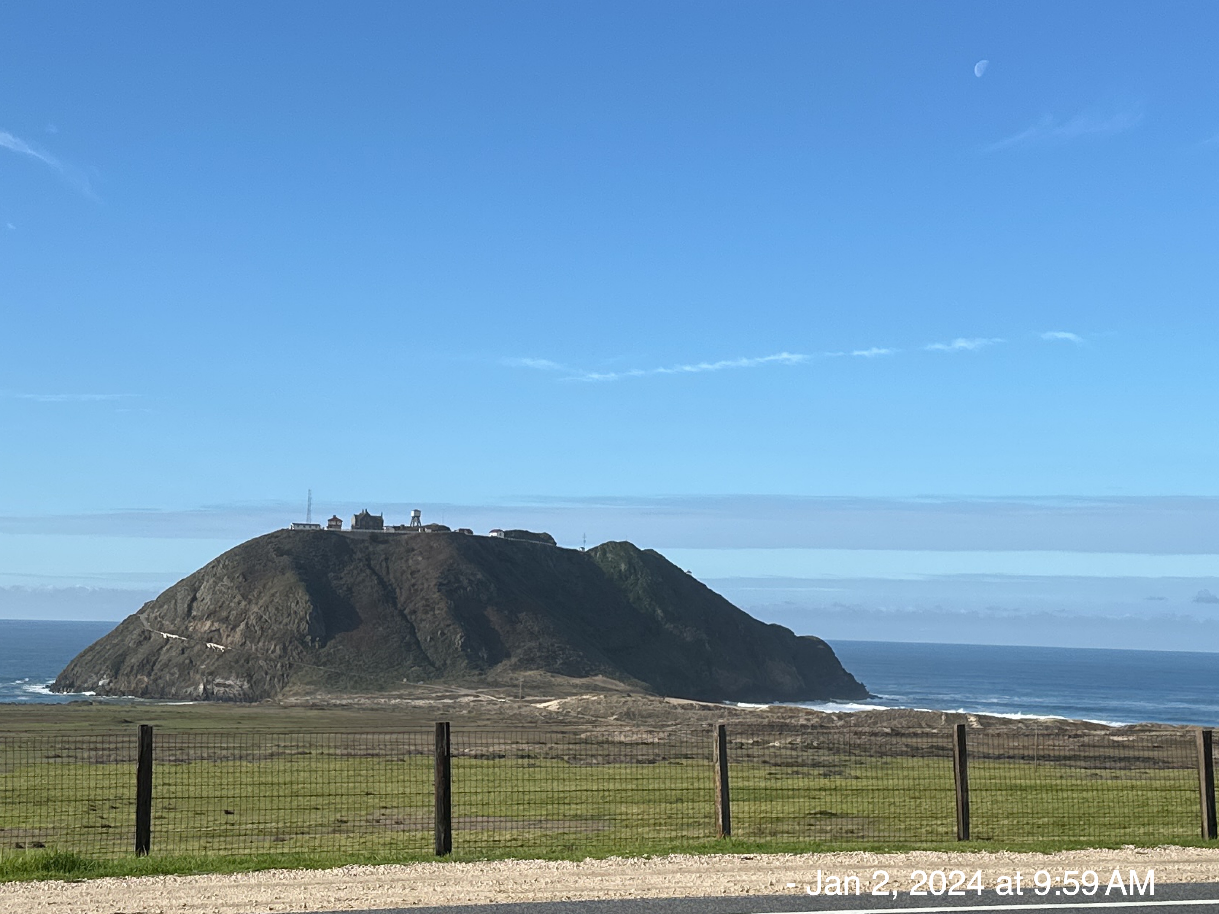
Driving past Point Sur, the next day…
This volcanic rock dome has a 19th century lighthouse and a Naval Facility which was one of 30 secret sites worldwide that were built during the Cold War to detect Soviet submarines. In 1958, the U.S. Navy built the Naval Facility (NAVFAC) to provide submarine surveillance using the classified SOund SUrveillance System (SOSUS). The public was told the station was engaged in oceanographic research.
Long-range acoustic listening was first tested and partially developed at NAVFAC Point Sur which played a key role in identifying the location of the Soviet submarine K-129 which sank in 1968. In a significant intelligence coup in 1974, the United States CIA recovered portions of the submarine in a secretive Cold War effort named Project Azorian which used Howard Hughes’ Glomar Explorer.
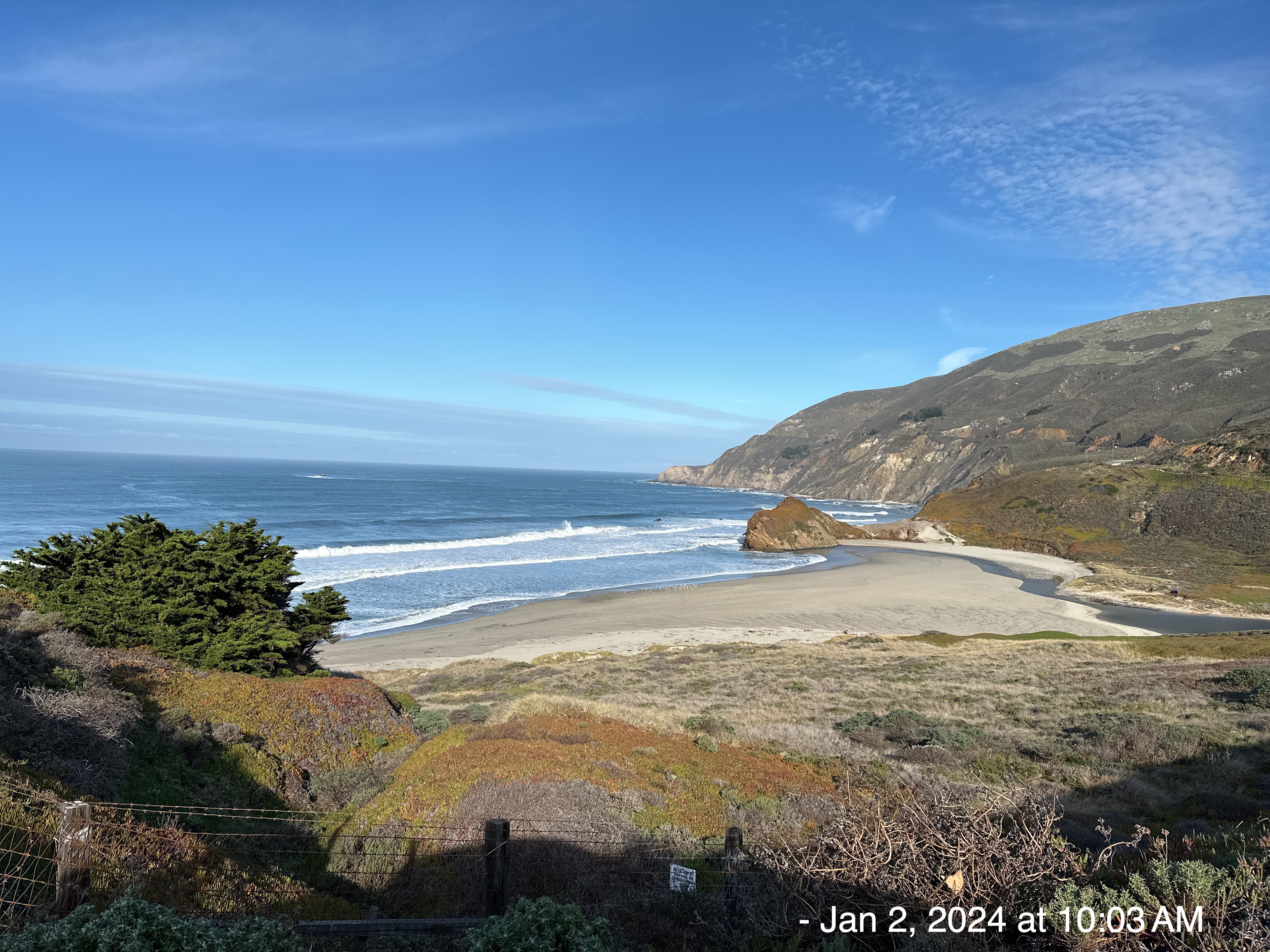
There were so many beautiful seaside, cliff overhang, lookout points… each more spectacular than the last. I chose this one because it was gorgeous, but there were 10 others I could have taken instead. There had been several days of high-wave warnings (30 ft waves at times) and hundreds of cars were parked along the highway with people trying to take pictures. I’ve never seen so many Lamborghini’s, Porsche’s and other luxury cars in 20 minutes. I guess rich people like to sightsee just like the rest of us.
View of Little Sur River Beach
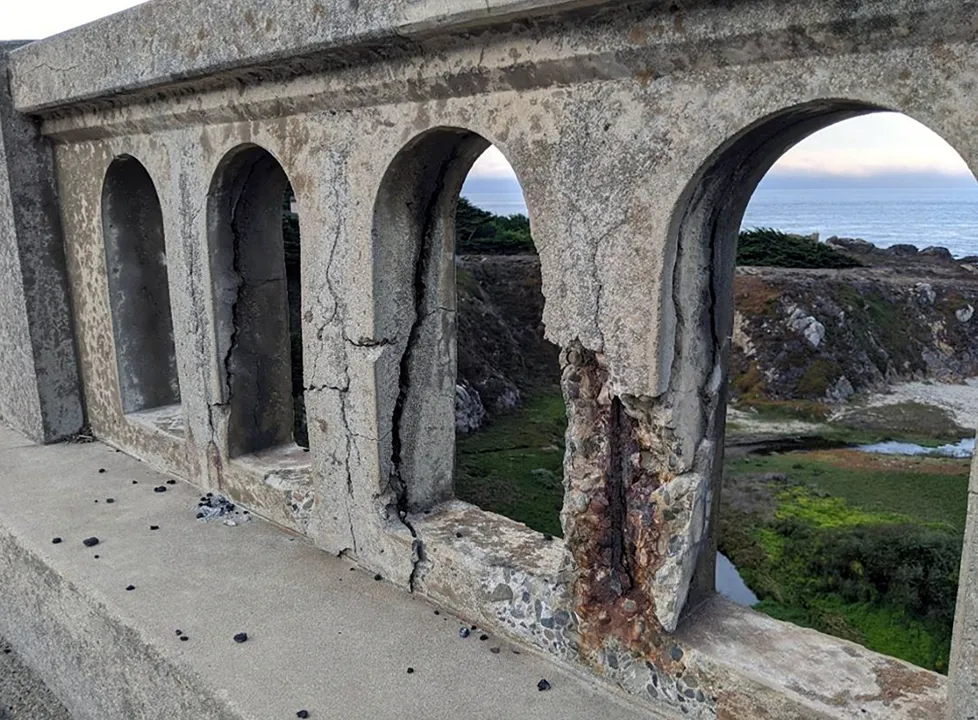
Big Sur Arches
I drove over the famous bridges called the “Big Sur Arches” which were built in the 1930s. The railings are cracking and dangerous, so they must be replaced with sturdier structures. Caltrans says the old railings are beyond repair.
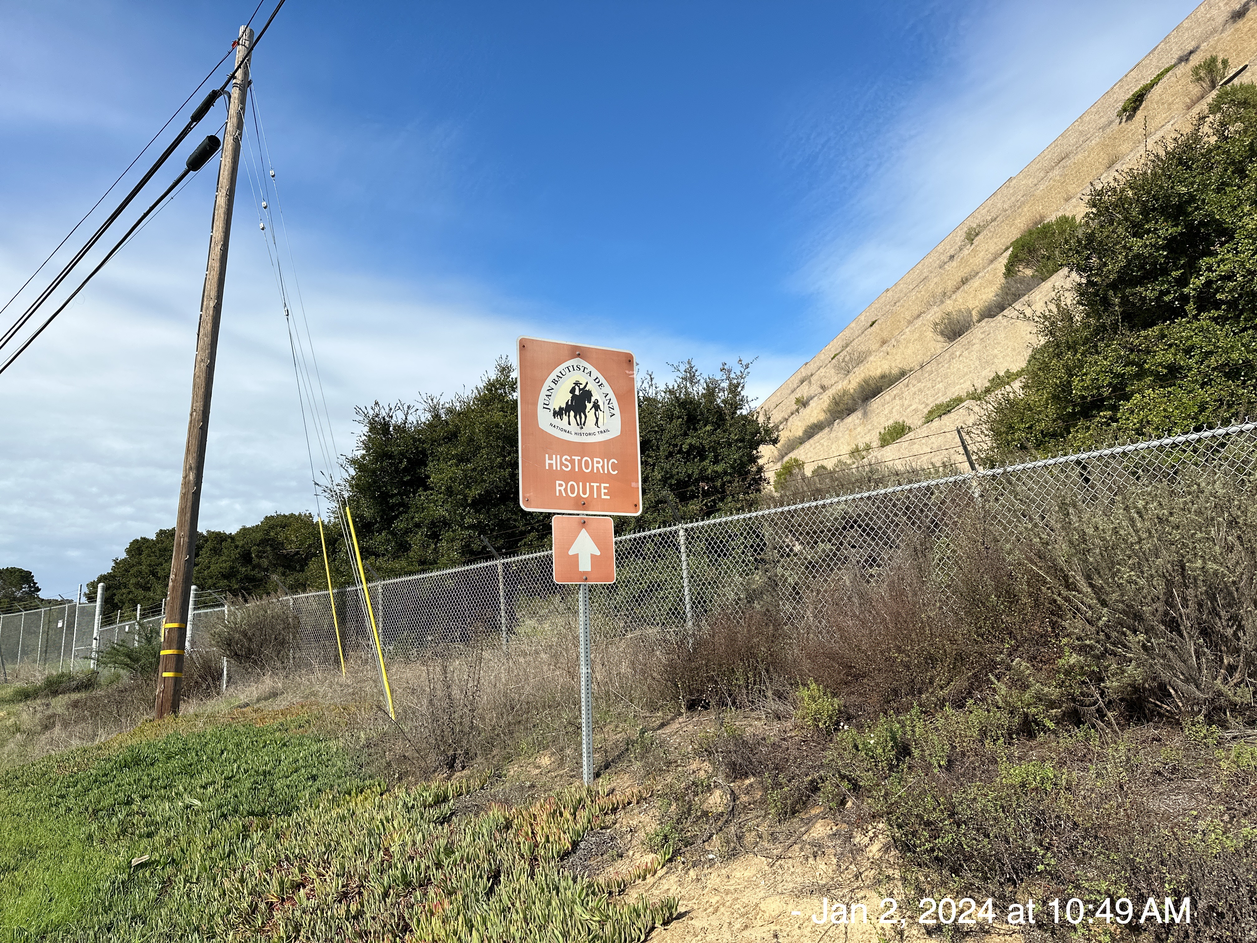
Imagine my surprise when I drove past this sign just outside Monterey, CA. I had no idea I would be crossing paths with my old friend Juan Bautista de Anza. I had to double-back a few miles to get this picture, but it was worth it.
CLICK HERE FOR MY TRAVELS ON NATIONAL HISTORIC TRAILS
Post Scripts
April 1, 2024 – CREWS CONTINUE TO ASSESS HIGHWAY 1 SLIPOUT NEAR ROCKY CREEK
Caltrans engineers continue to assess a slip out of the roadway on Highway 1 just south of the Rocky Creek Bridge. The initial slip out and closure of the road took place on the afternoon of Saturday March 30. Crews are continuing to gather information at the site which will inform next steps to stabilize the edge of the roadway and design a permanent repair. In the next several days crews will place 500 feet of concrete barriers along the centerline of the roadway. This will help define a channel for convoy vehicles to pass through and will provide protection for workers working on repairs.
March 27, 2024 — Caltrans lowers speed limit on 44.5 miles of California’s Highway 1
Caltrans is reducing the speed limit along three different stretches of State Route 1 on the coast of Big Sur. … The speed limit in these areas was 55 miles per hour and will be reduced to 45, 50 and 40 miles per hour.