
Milestones
- 34th time camping in 34 months (SHOW ON MAP)
- 2nd time camping in Inyo County (SHOW 1ST)
- 4th time camping near a filming location – only 4 miles away at the “Alabama Hills” hundreds of movies have been filmed there, including: Gunga Din, Bad Day at Black Rock, Joe Kidd, Django Unchained, Tremors, and Iron Man (SHOW 3RD).
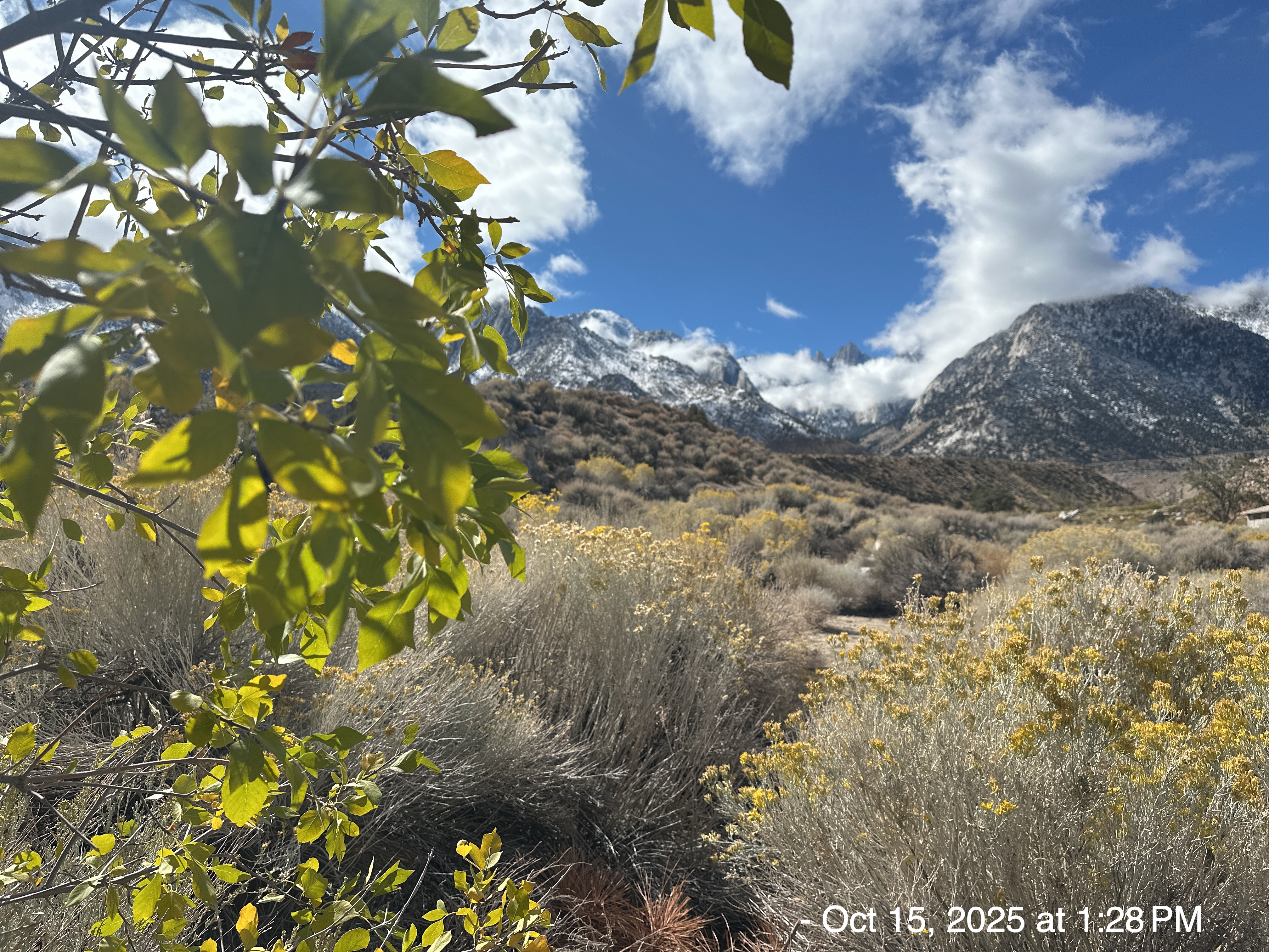
Eastern Slope of the Sierra Nevada’s
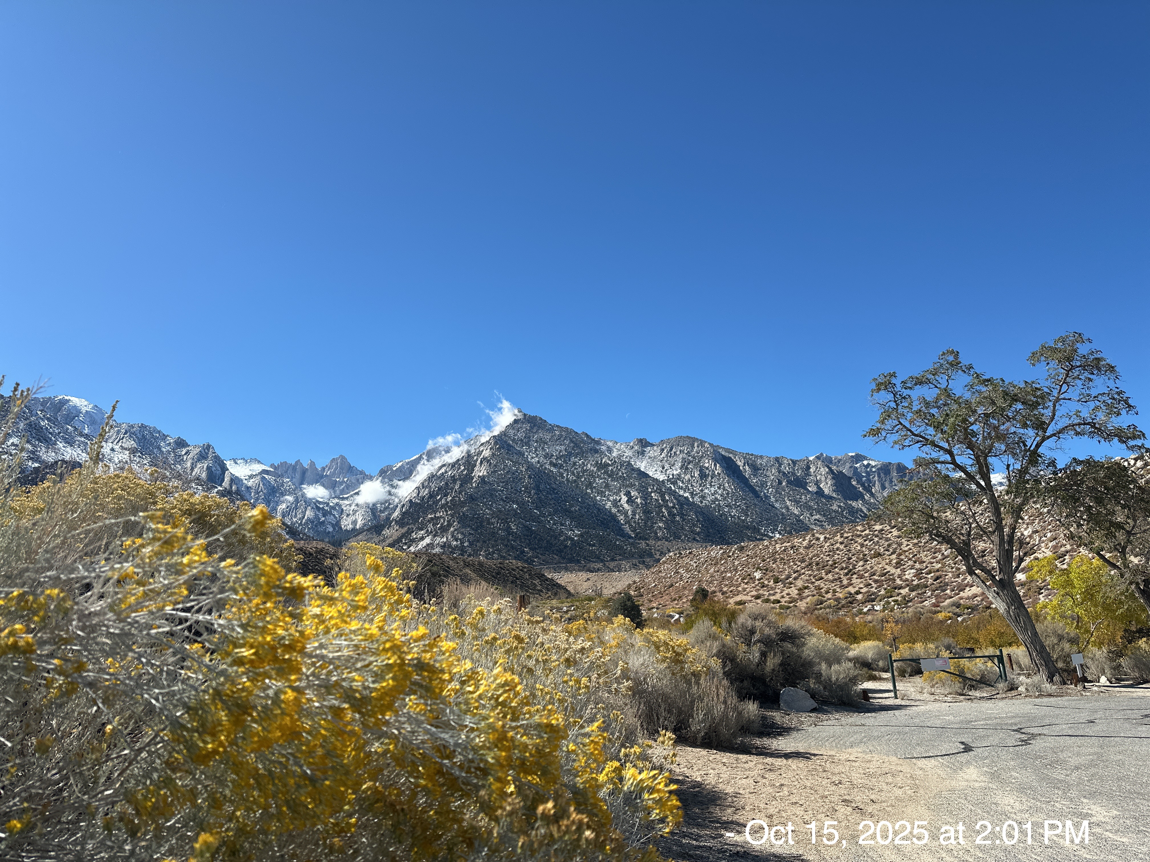
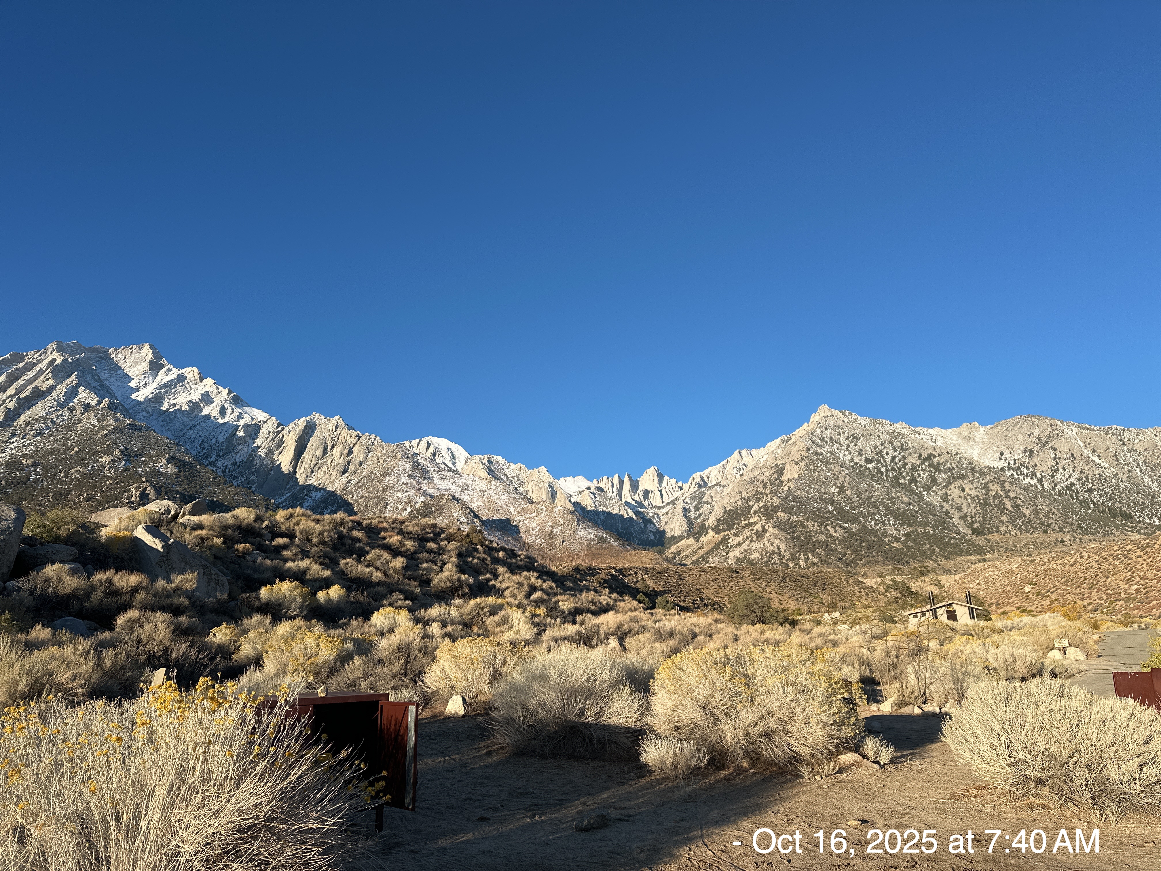
The drive up from my house was only a little over 3 hours away (easy peasy). I wasn’t familiar with this part of California. I never would have guessed how beautiful the views are along Highway 395. The day before I arrived, the Sierra Nevada’s had the season’s first major storm (a Level 1, atmospheric river). Snow was on all the highest peaks.
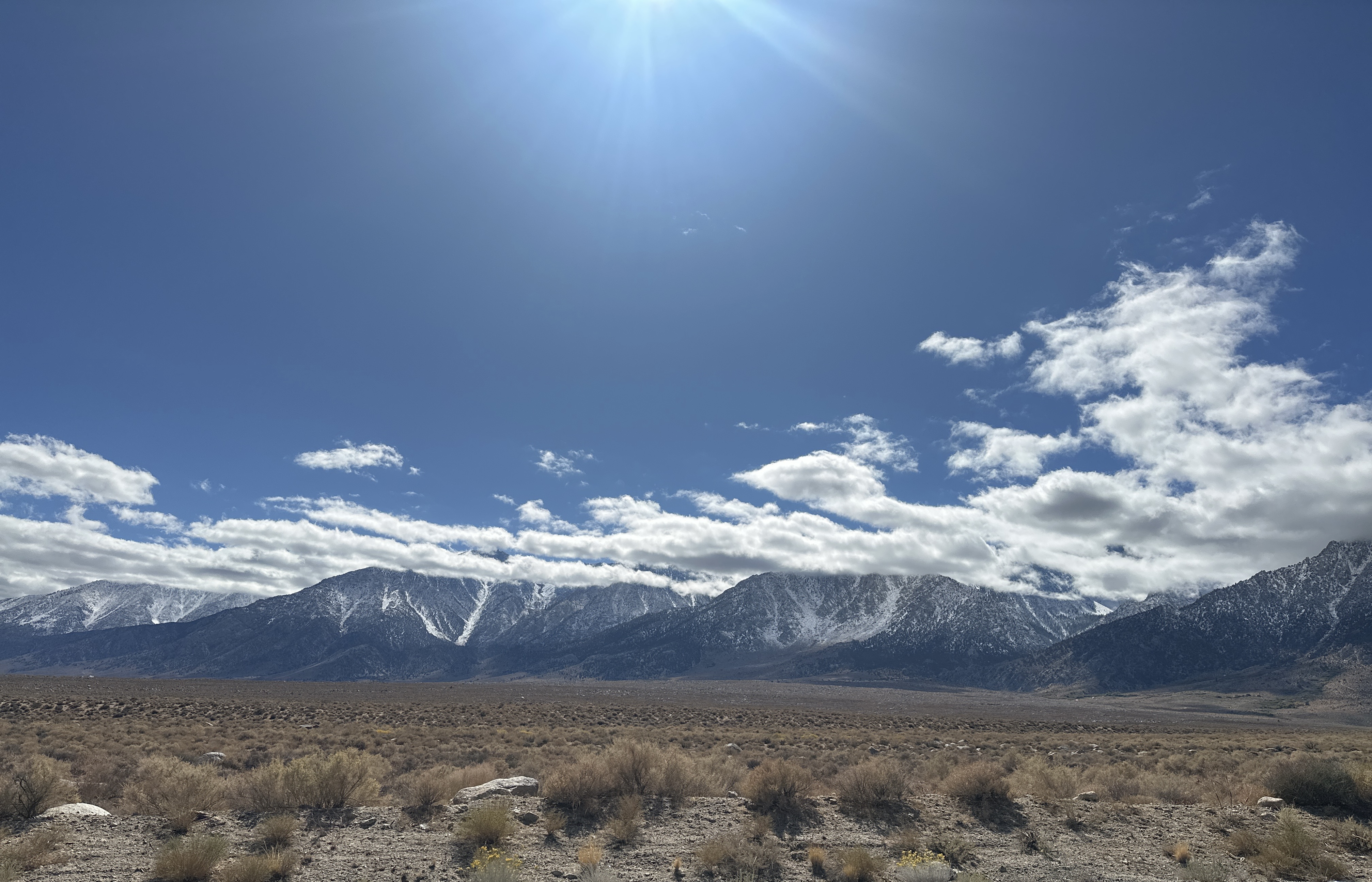
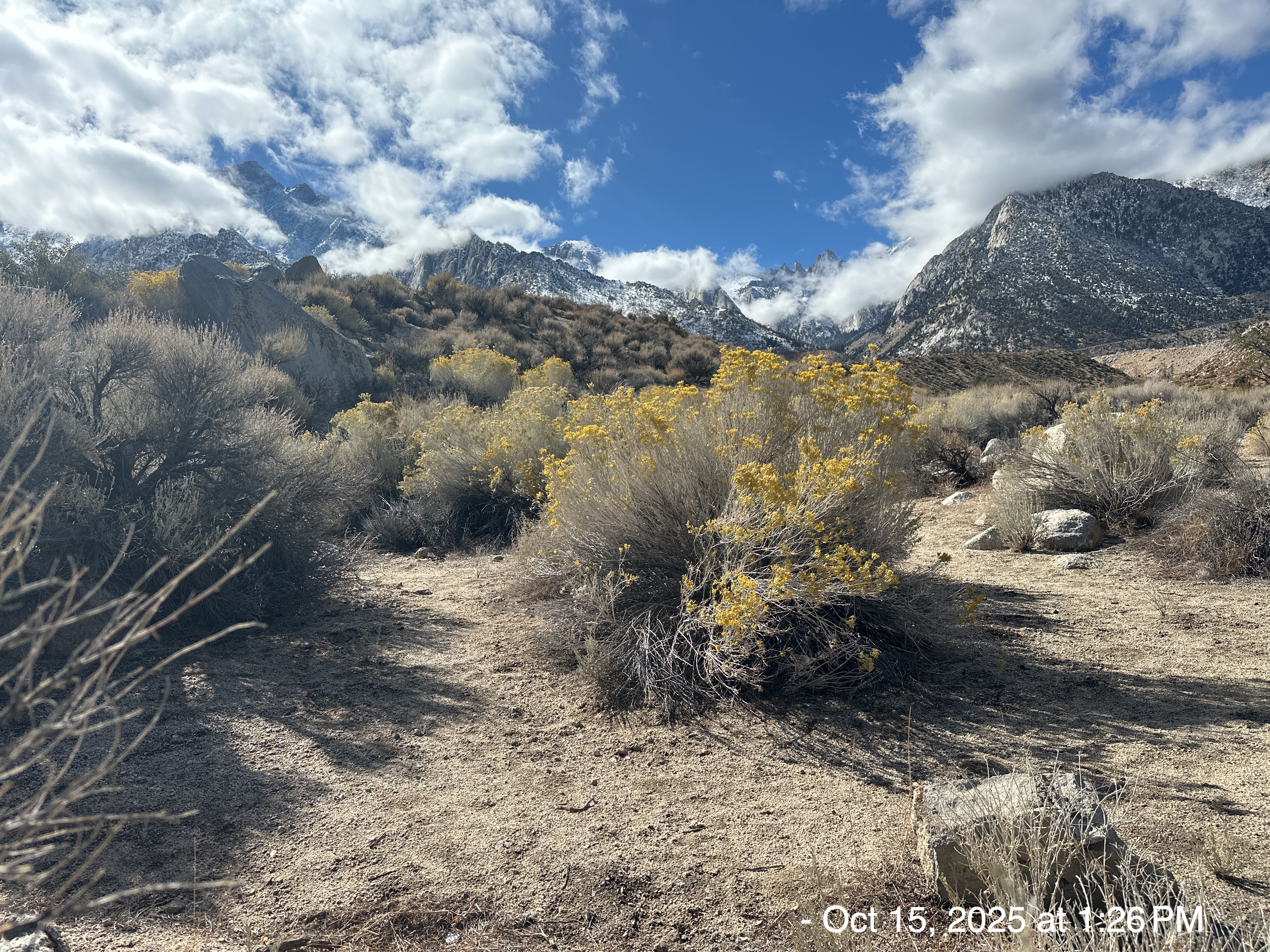
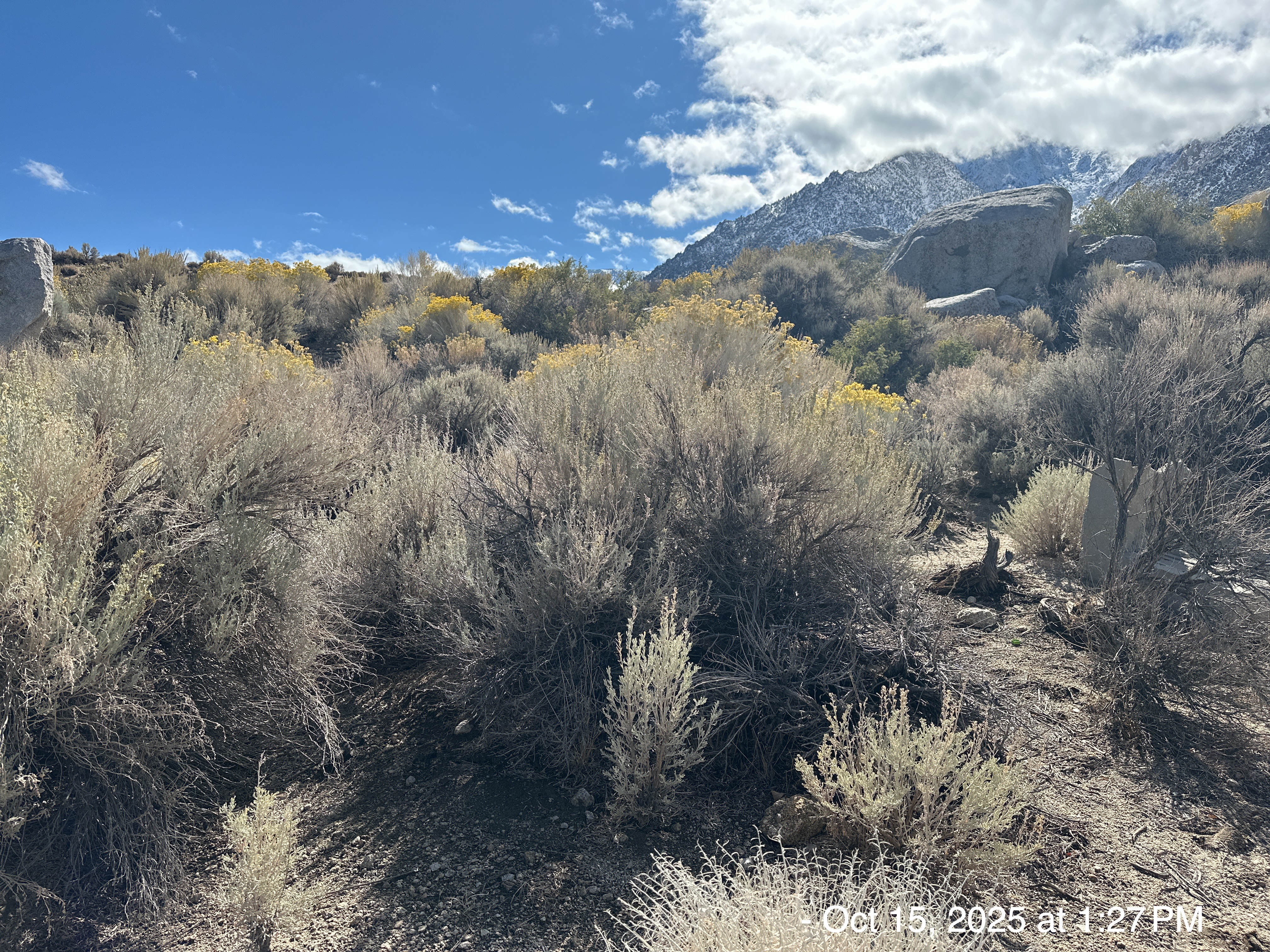
The deep-blue skies, snow-capped mountains, puffy-white clouds, and brown desert floor was quite a view.
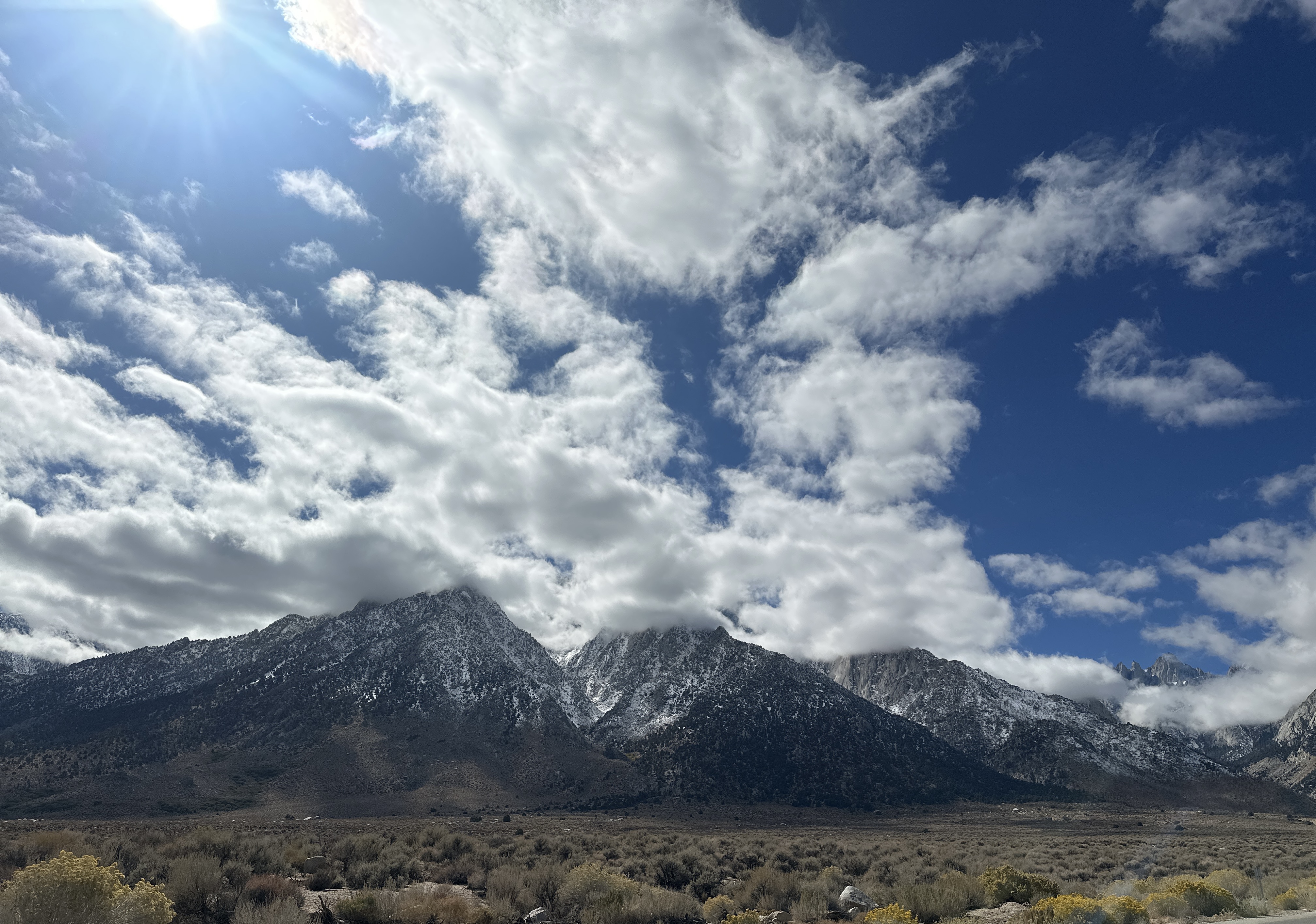
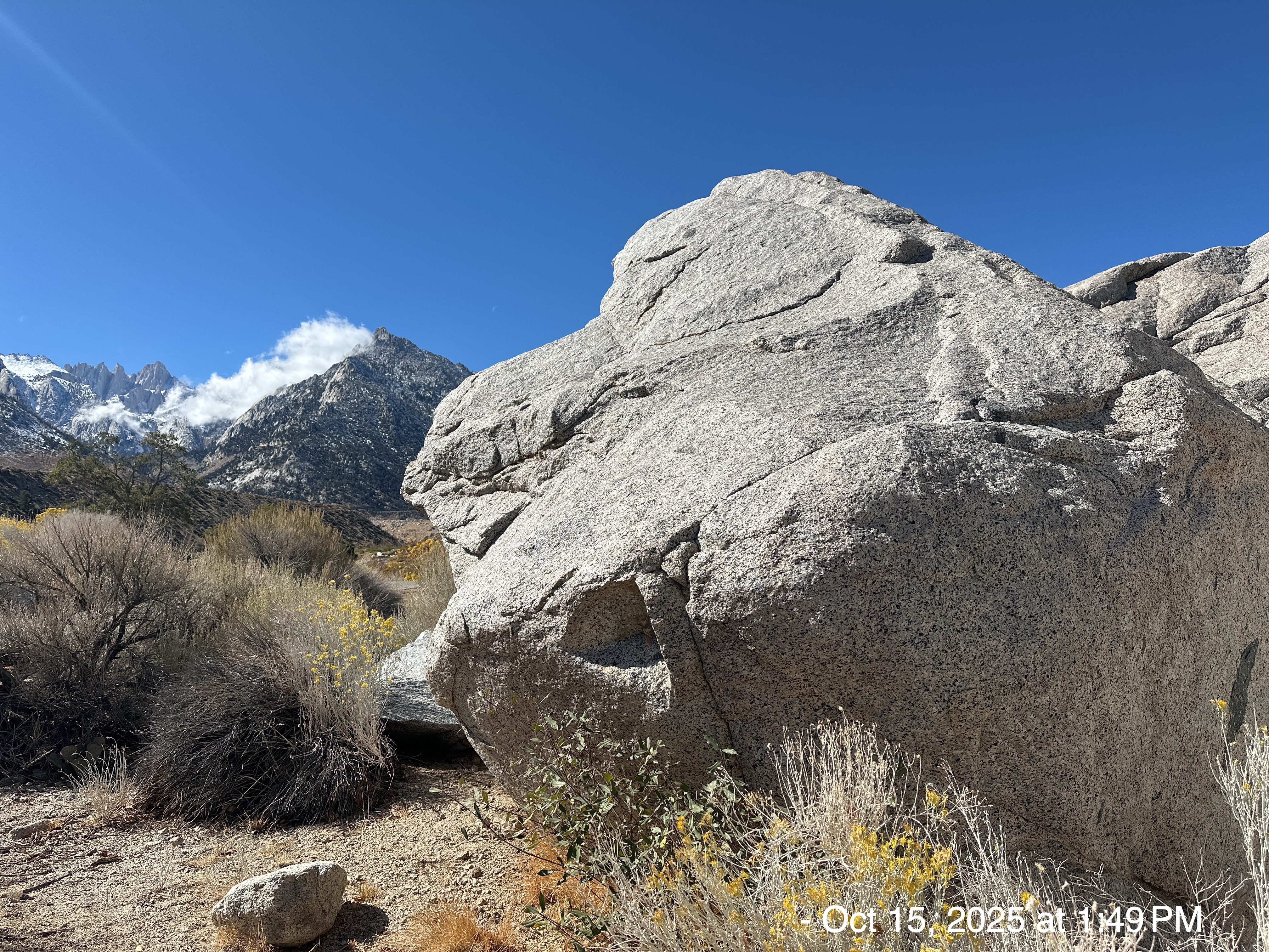
I was camping only 6 miles from Mt. Whitney, the highest point in the lower 48 of the United States, with an elevation of 14,505 feet. This is pretty cool considering I had previously camped nearby (and ridden my bike at) Badwater Basin with an elevation of -282 feet. These two spots are only 85 miles away from each other.
The Paiute Indians called Mount Whitney Too-man-i-goo-yah, which means ‘the very old man.’
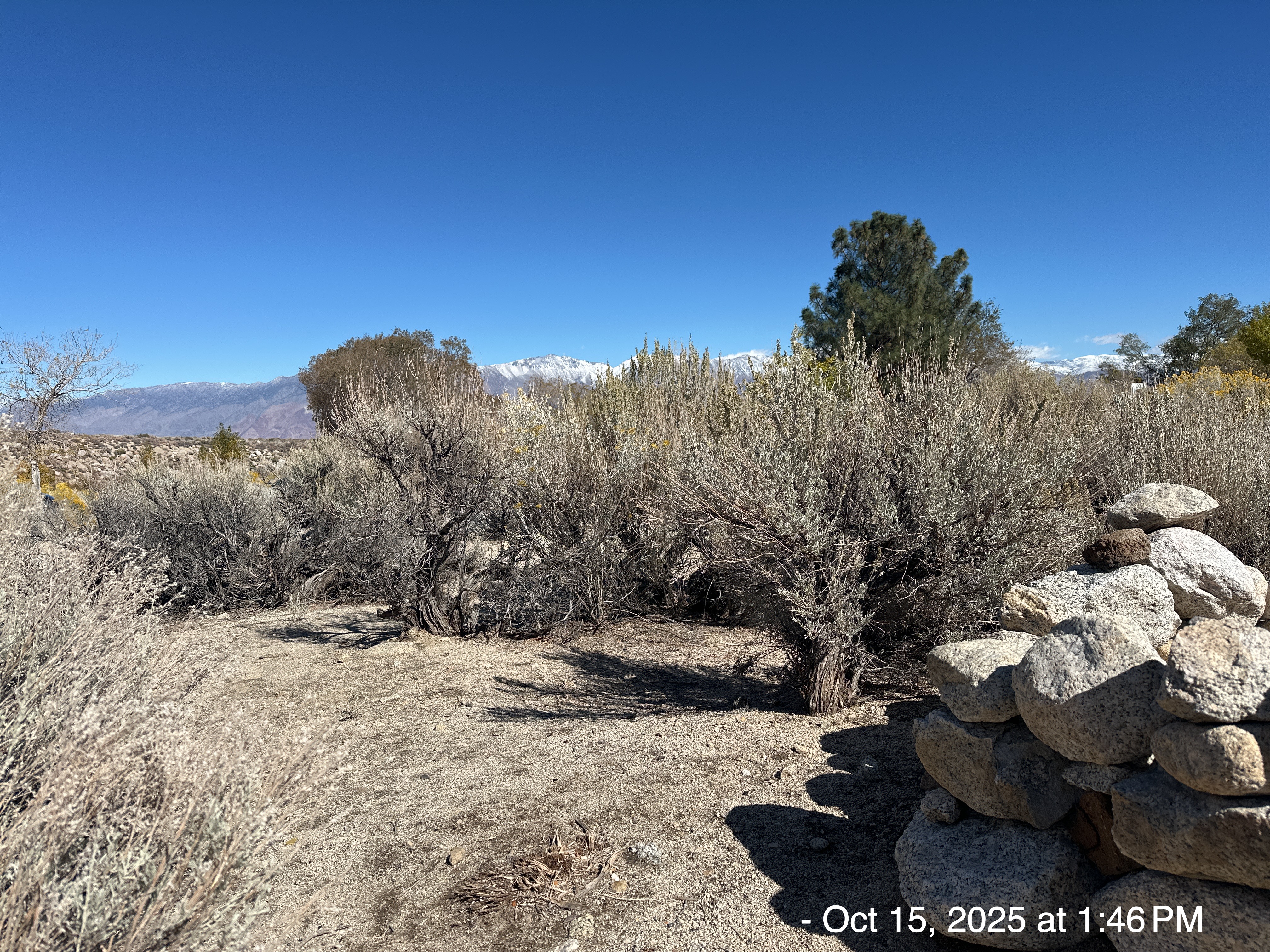
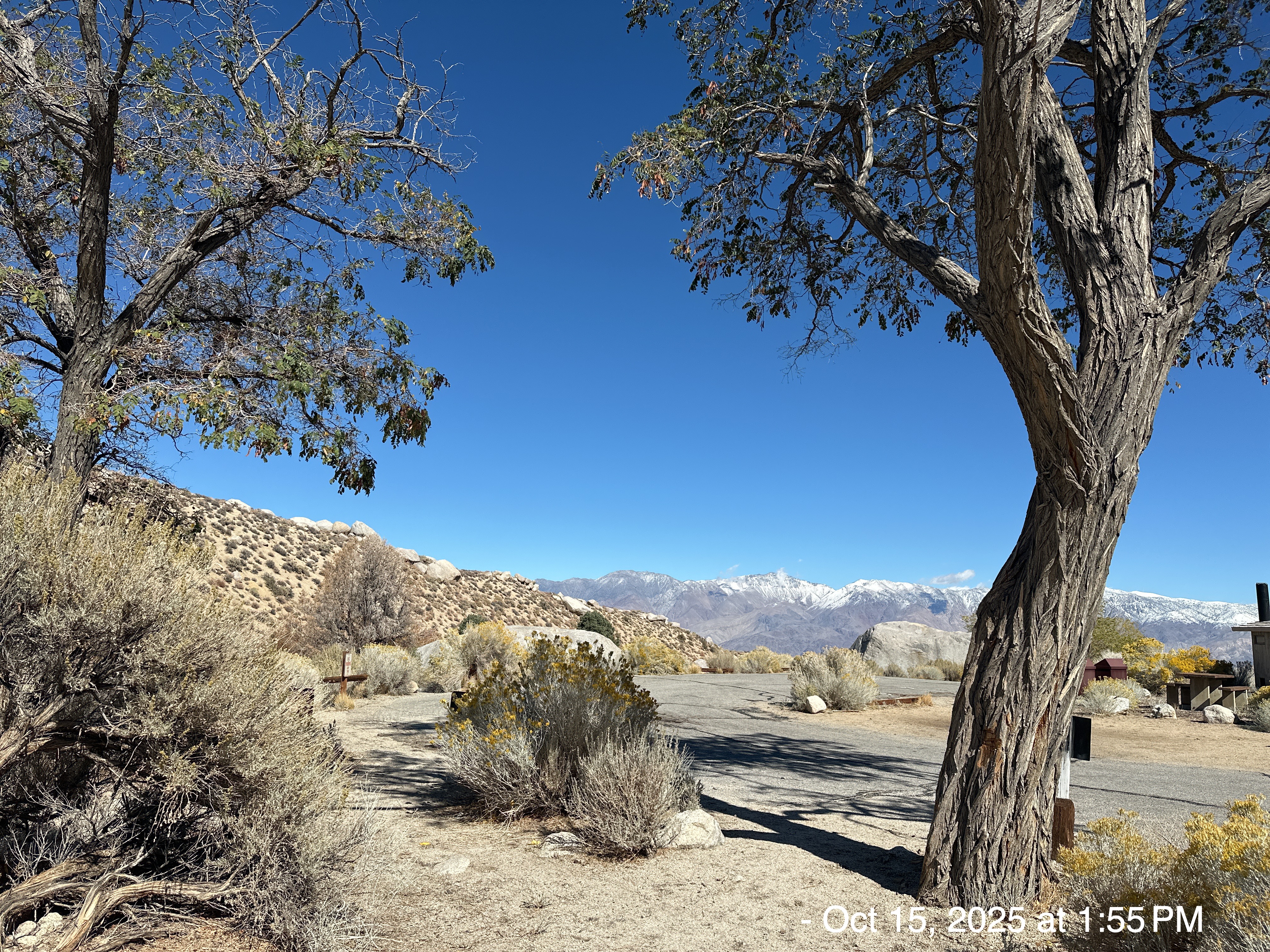
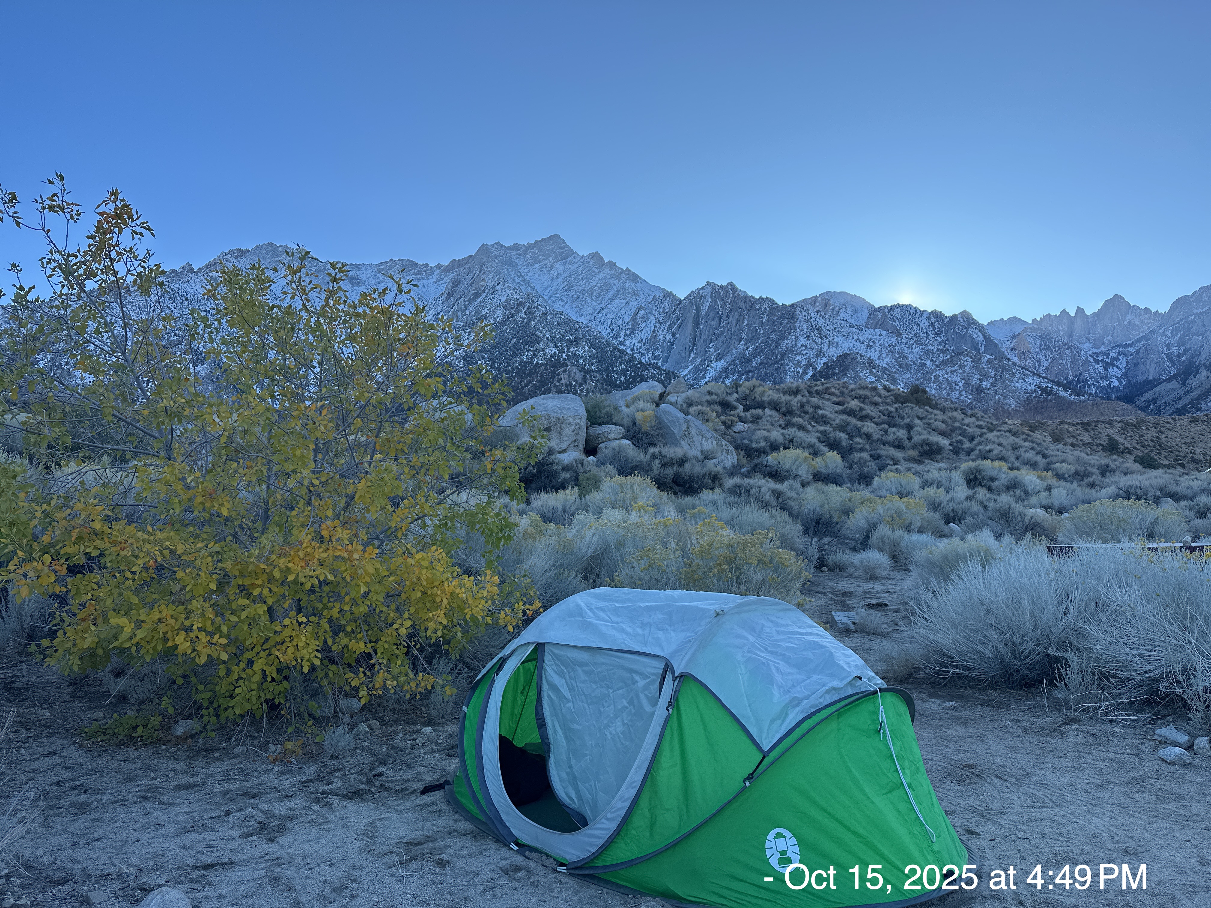
The campground was convenient, and not crowded. I enjoy the off-season .
You know how much I like creeks, streams, lakes, and oceans. I was so surprised to get this video of Inyo Creek running near my campsite.
Once the sun went down, the temperature dropped like a stone.
I slept pretty well. I use those chemical-pack hand-warmers. They last 12 hours and are wonderful in my sleeping bag.
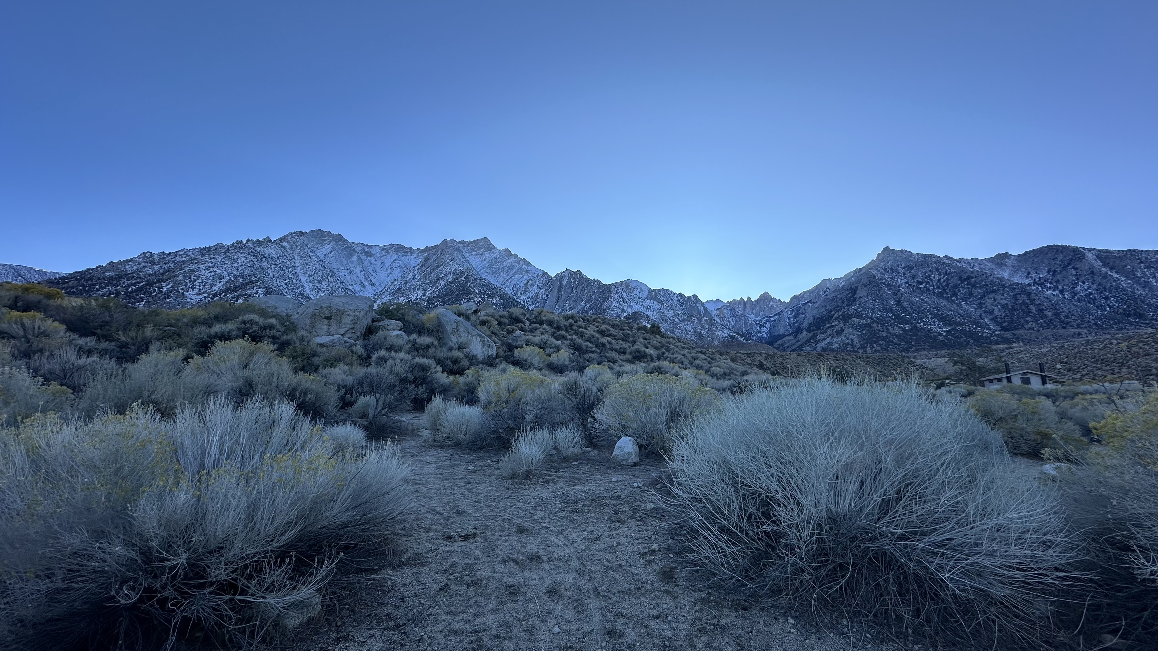
I got up at dawn, and saw the sun shining on the peaks behind me.
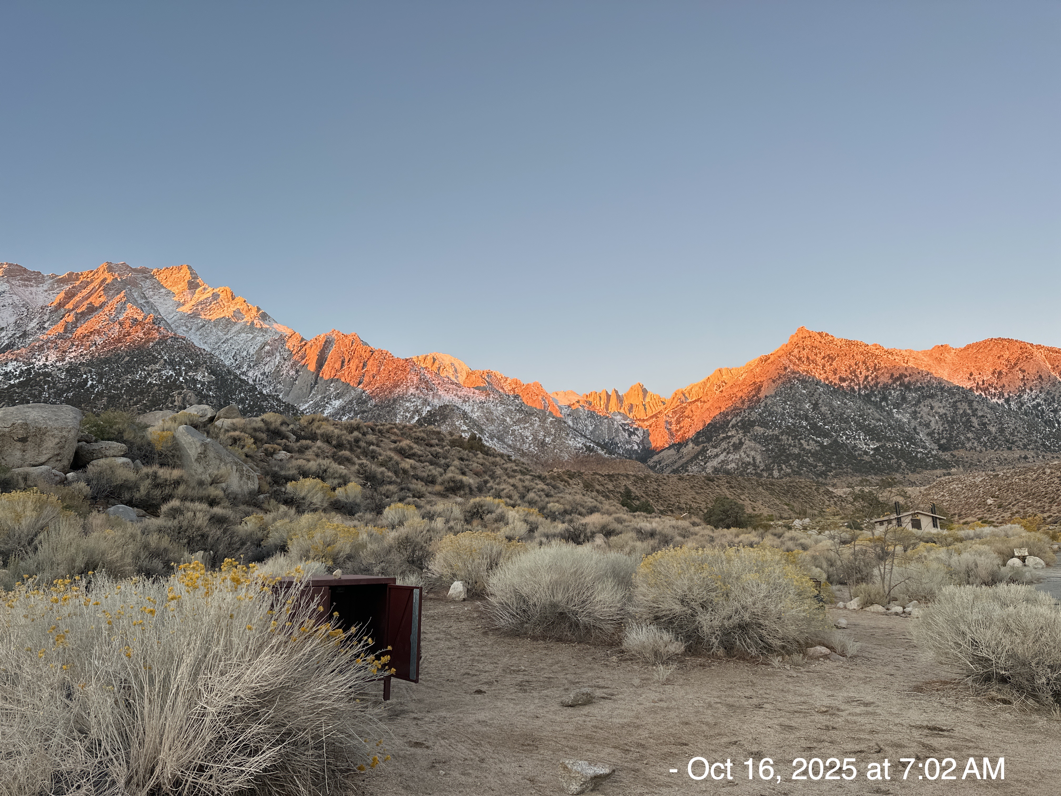
Only a few minutes later, the snow was easily visible.
I don’t have a lot to say. The pictures are worth a thousand words, EACH!
Yes, I agree; Van has an Ansel Adams’ eye for a well composed pic!
Your photos take me back 40 years when Wes and I camped in that very same campground with ambitious plans to scale Whitney the next day. We awoke early, ate quickly and put on our backpacks to follow a well-marked trail to the snow line where the trail seemed to turn to rocky outcroppings and vanish with no discrenible path upward. It was around noon. We had worn hiking boots but hadn’t thought of snowshoes or even krampons not realizing how essential they might be. So after a short deliberation, we agreed on a change of plans, and in sensible midwestern fashion, headed back downhill and checked into a Lone Pine motel with clean sheets and a warm bed. We slept well. It was a 10 out of 10.
FYI, the Manzanar Interrment Camp is located seven miles north of Lone Pine.
Beautiful photos!
You are really developing a pretty sophisticated camera eye–your photos are beautiful–well-balanced and thoughtfully composed. Well done!